


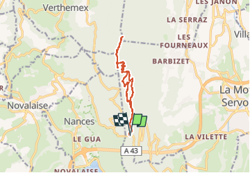

27 km | 40 km-effort


User


FREE GPS app for hiking
 SityTrail
IGN / Geographical institutes
SityTrail World
The world is yours!
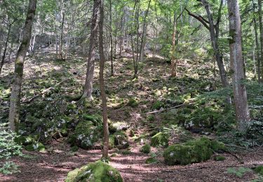
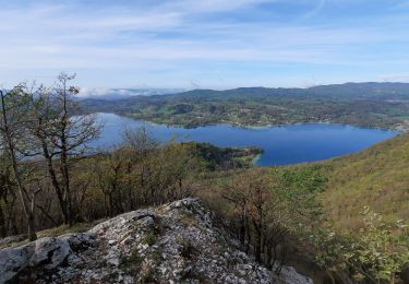
Trail Walking of 12.3 km to be discovered at Auvergne-Rhône-Alpes, Savoy, La Motte-Servolex. This trail is proposed by jeanlucm88.
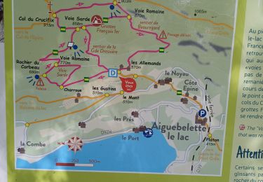
Le parking de départ est désormais au niveau de la route du col de l'épine


Mountain bike
Trail

Walking
Walking
Walking
Walking

Walking
Walking

Walking